A drone flying over a wildfire in a forested area with smoke and flames in the background.

BOGEY DOPE

ON-DEMAND DRONE RESPONSE

FAA LICENSED AVIATORS

WITH MILITARY EXPERTISE

AND TACTICAL INSIGHT

our services

A wildfire burning on a hillside with smoke and flames, dead trees, and a partly cloudy sky.

FIRE & EMERGENCY RESPONSE

Our primary mission is to provide the On-Scene Commander with the situational awareness required to effectively fight wildfires and structure fires.

With thermal sensors, we can locate hot spots, do pre-emptive scouting, analyze fire mitigation effectiveness, execute post-fire assessments, and most importantly, locate new flare-ups quickly and remotely.

Any terrain, time-of-day, or type of response, we provide a lean-forward posture to aid in mission execution.

Our greatest asset is our extensive military and civilian aviation expertise—-and our ability to liaise and deconflict with other airborne assets, the FAA, and participating agencies.

A drone flying over a green field with power lines and towers, with hills in the background during sunset.

SURVEYING & insurance claims

We provide airborne live and recorded footage for the construction, utilities, agricultural, and insurance industries—-from remote to urban environments, with centimeter-level RTK accuracy.

A dog illuminated by orange light stands on a trail in a dark forest at dusk.

Search & RESCUE

If you need help searching for a lost person, pet, or simply tracking wildlife, we are available to assist with both optical and thermal cameras, as well as LED spotlighting.

OUR EXPERTISE INCLUDEs:

  • AIRSPACE DECONFLICTION

  • COORDINATION WITH FAA

  • COMMUNICATION WITH ON-SITE PERSONNEL

  • COMPLIANCE WITH ALL FEDERAL AVIATION REGULATIONS (FAR)

  • Mission-execution

Follow us

Instagram app icon with a gradient background of purple, pink, orange, and yellow, featuring a white camera outline and a small circle in the top right corner.
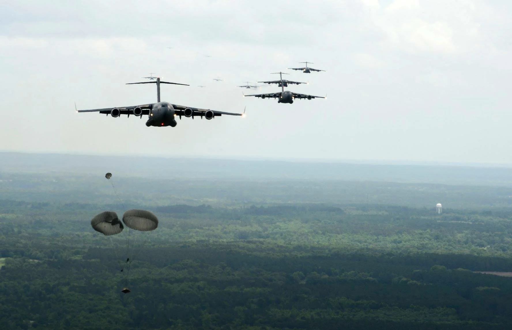
Military cargo plane releasing parachutes in mid-air against a clear blue sky.